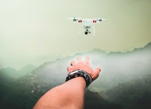
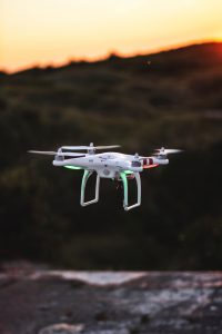
Drones are not so new today, and are available from plenty of manufacturers at a decent price, considering what you get. Drones are often commercially available with cameras, or a standard mount for a couple of different camera options, but that is only part of the story. Drones are used for much more than taking a selfie in a different way, boosting your Instagram profile.
Drones in Geology and Geodesy

Drones are very often used by geologists and geodesists to measure land and take notes they would otherwise need weeks more to do. Oh, don’t be fooled by this, a geologist still needs to climb mountains and get downright dirty in order to be closer to the site they need to measure and study. Often, this includes climbing so that they would have a decent range of communication with the drones. Regardless, their job was made much easier with drones, and much more entertaining, not to mention safer.
Drones in Rescue Services
Apparently, a drone called Little Ripper was able to save two teenagers caught in a current in New South Wales, Australia. This is beyond important, as the drone could operate faster than a human would be able to, delivering an inflatable raft in an alleged 70 seconds, compared to a human’s 6 minutes or so. This was the first rescue of its kind, at least a recorded one. It is also outfitted with sensors to track sharks, a very helpful thing, indeed.
Drones in Transport

People often think of drones as rather small vehicles carrying lightweight objects, or sometimes heavier ones (cameras and their lens can be quite heavy). Airbus thinks otherwise. They backed the Vahana project, an all-electric drone which is supposed to be used as a taxi. In 2018, they had their first, minute-long test flight, which was filmed. During the test, the vehicle used only 8% of the battery.
Drones in Agriculture
Drones are also used to help make agriculture better. How is that, you might wonder. Well, simply, it allows agriculturists to measure the land properly, from a unique perspective and measure the irrigation levels, the state of the crops and soil, as well as equipment inspection. This reduces the cost and time and effort needed to survey the farms, compared to traditional approaches.
Drones in Ocean Mapping
Drones can fly and cover great areas wasting very few resources, a bit of electricity. Well, drones, can fly over the oceans, taking high-resolution photos, helping scientists determine which areas are in danger and in general, providing a clear image of what is often obscured with clouds or unavailable due to distance or cost. Satellites can only get so much quality and plane or helicopter surveys are much more expensive. Plenty of people could benefit from ocean mapping, from the oil industry to search-and-rescue organizations.
Drones are efficient, and getting more advanced and less expensive by the year. They are changing our world and will continue to do so as they get larger and are able to do more than take photos.
